Hiking has “high season” all year round in Brandnertal!
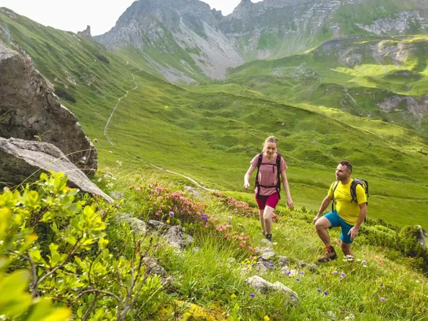
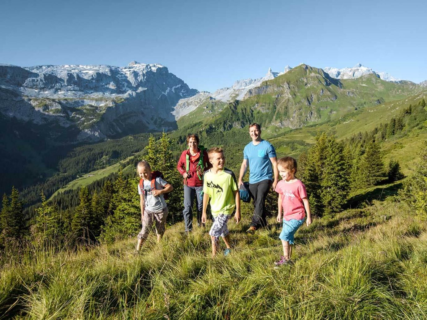
The Brandnertal is the ideal starting point for hikes of all levels of difficulty! Everyone has their own individual mountain experience here – hiking in the Brandnertal is a delight!
As a guest in one of our apartments, you have the opportunity to take part in guided hikes and mountain tours free of charge. Experienced hiking guides from the Brandnertal and the region will bring you closer to the country and its people. You know the flowers, the mountains, the streams – even every alpine meadow by name. Luis, Erich and Co. also like to tell the traditional legends of the Brandnertal. It couldn’t be more entertaining!
Spring flowers in May on lush green alpine meadows offer a unique contrast to the still white glittering mountains in the Brandnertal. A colorful sea of flowers in midsummer can be found on fragrant mountain meadows in summer. An overwhelming view and magnificent deciduous forests attract hikers in autumn. And in the cold season, the gleaming snowy landscapes are reminiscent of childhood fairy tales.
Hiking in Brandnertal knows no limits – it seems almost impossible to hike all the possibilities in one holiday and therefore it is not our goal to list all hikes. Nevertheless, we want to bring you closer to some hikes as examples.
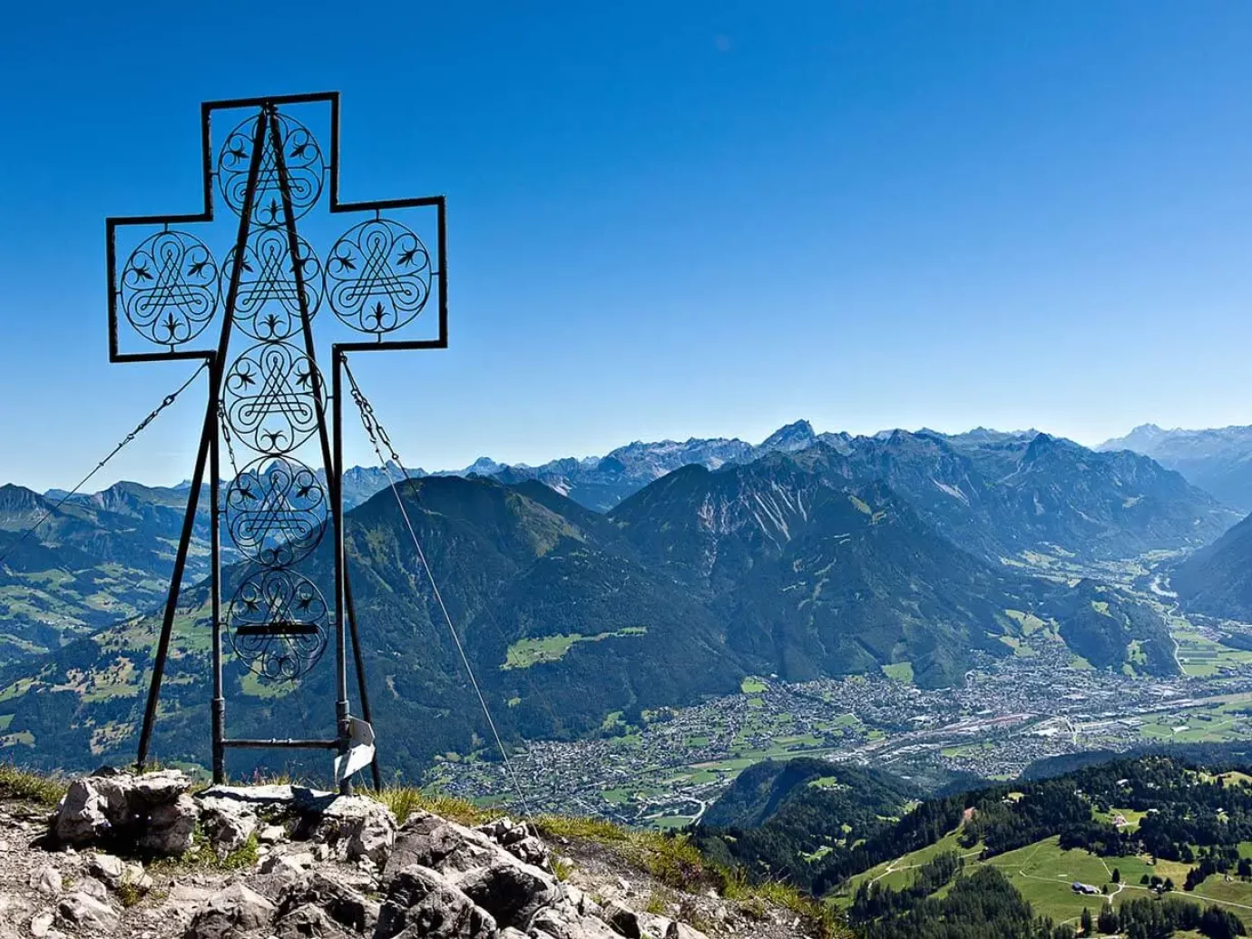
From the hiking car park on the Tschengla high plateau, you can hike to Alpe Rona in just a few minutes. You hike on, partly through wooded areas, partly over alpine meadows, always in the direction of the Mondspitze. After the Furkla Alpe, turn right onto the supply road that leads to the Klampera Sätteli. From the Sätteli it is a bit rocky and a bit more difficult up to the summit. At the top you can enjoy a beautiful five valley view! The descent is to the southwest to the Schillersattel. Here you turn left down a hiking trail, crossing the supply road to the Klampera Sätteli twice. You can then follow this and descend over a meadow directly to the Tschengla.
Tip: For all enthusiastic hikers who don’t mind getting up earlier, there is a sunrise tour to the Mondspitze. Depending on the position of the sun, you start between 3 a.m. and 4 a.m. at the Tschengla hiking car park in order to be up in time for sunrise.
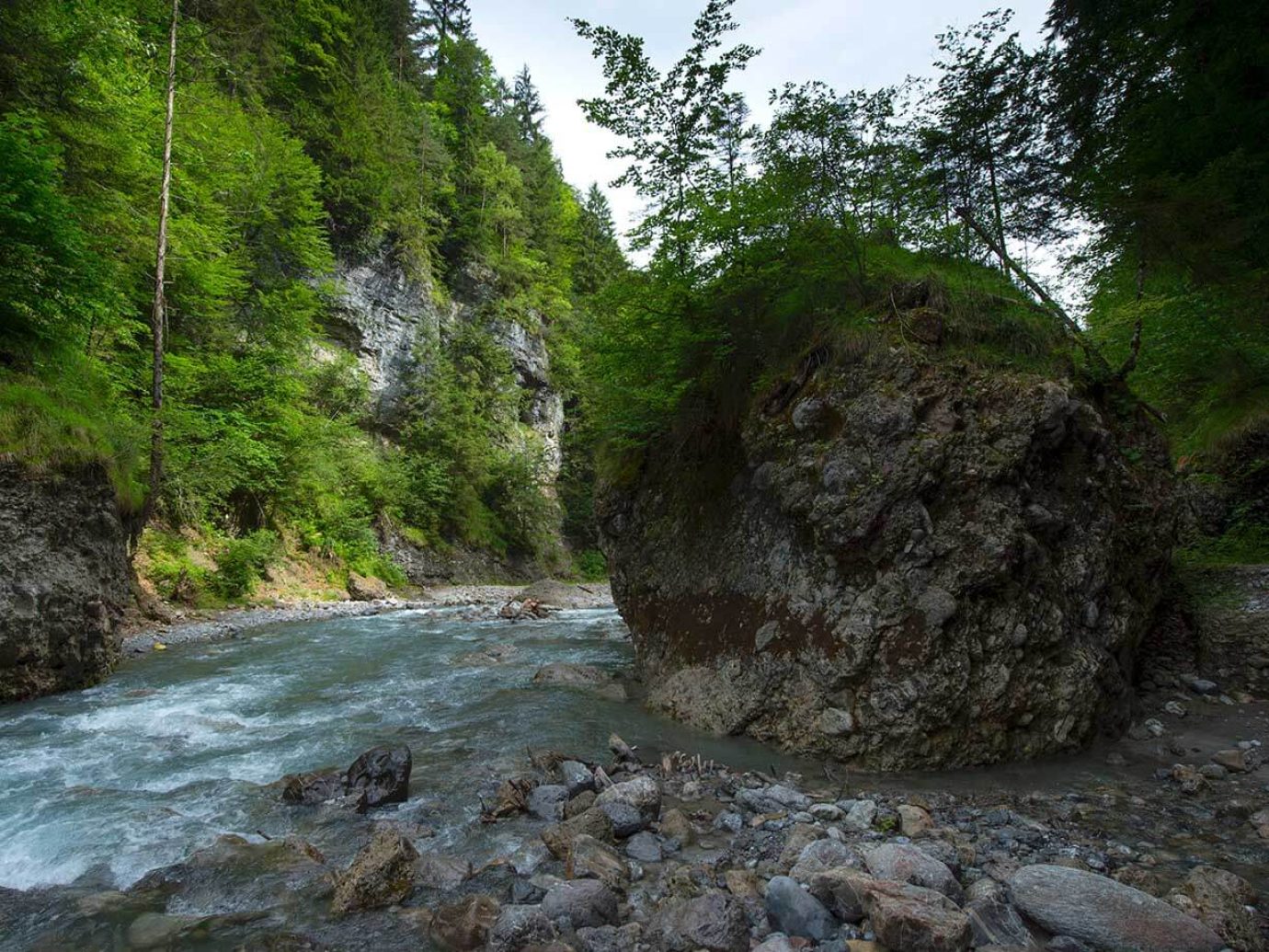
The Bürser gorge offers fantastic insights into the recent history of the earth. The Alvierbach formed today’s gorge over the last 10,000 years. From the center of Bürs, the natural gorge path leads through huge conglomerate blocks into the valley. The path turns and leads steeply up to the right, past a rest area by the stream, to the highest point of the tour. Here an ascent to the Bürserberg would be possible (25 min). Downhill you reach a larch meadow via a wide path. In the further course you hike past torn crevices in the ground. Finally you reach the so-called Kuhloch, a dry gorge dug into coarse gravel. A small forest path takes you back to Bürs.
Tip: Guided tours of the gorge take place on Wednesdays from July to September. You can register and inform yourself at the Tourist Office in Bürs +43 5552 62617.
At 2965 m, the Schesaplana is the highest mountain in the Rätikon. The national border between Austria and Switzerland runs above its summit.
A narrow mountain path leads from the Palüdbahn past the Palüdbach and the Glingabrunnen and a number of springs that draw their subterranean tributaries from the Brandner Glacier. The path continues into the picturesque Zalim Valley. Halfway there is the idyllic Obere Brüggele Alpe, which invites you to take a break. Continue to the Oberzalimhütte via serpentines. Via the Leiberweg, a climbing facility partly blasted into the rocks for experienced, sure-footed hikers with a head for heights, we continue to the Mannheimerhütte. From there you can reach the Schesaplana via the Brandner Glacier. The glacier is groomed and generally easy to walk on. Descent to the Totalphütte on a well-trodden path (caution in spring – snow fields!). Descent to the Lünersee and over the Bösen Tritt (or with the Lünerseebahn) to the Schattenlaganthütte. From here you can hike back to Brand on a good footpath or take the bus from the valley station Lünerseebahn after fire.
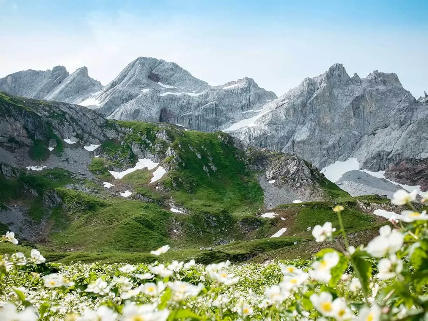
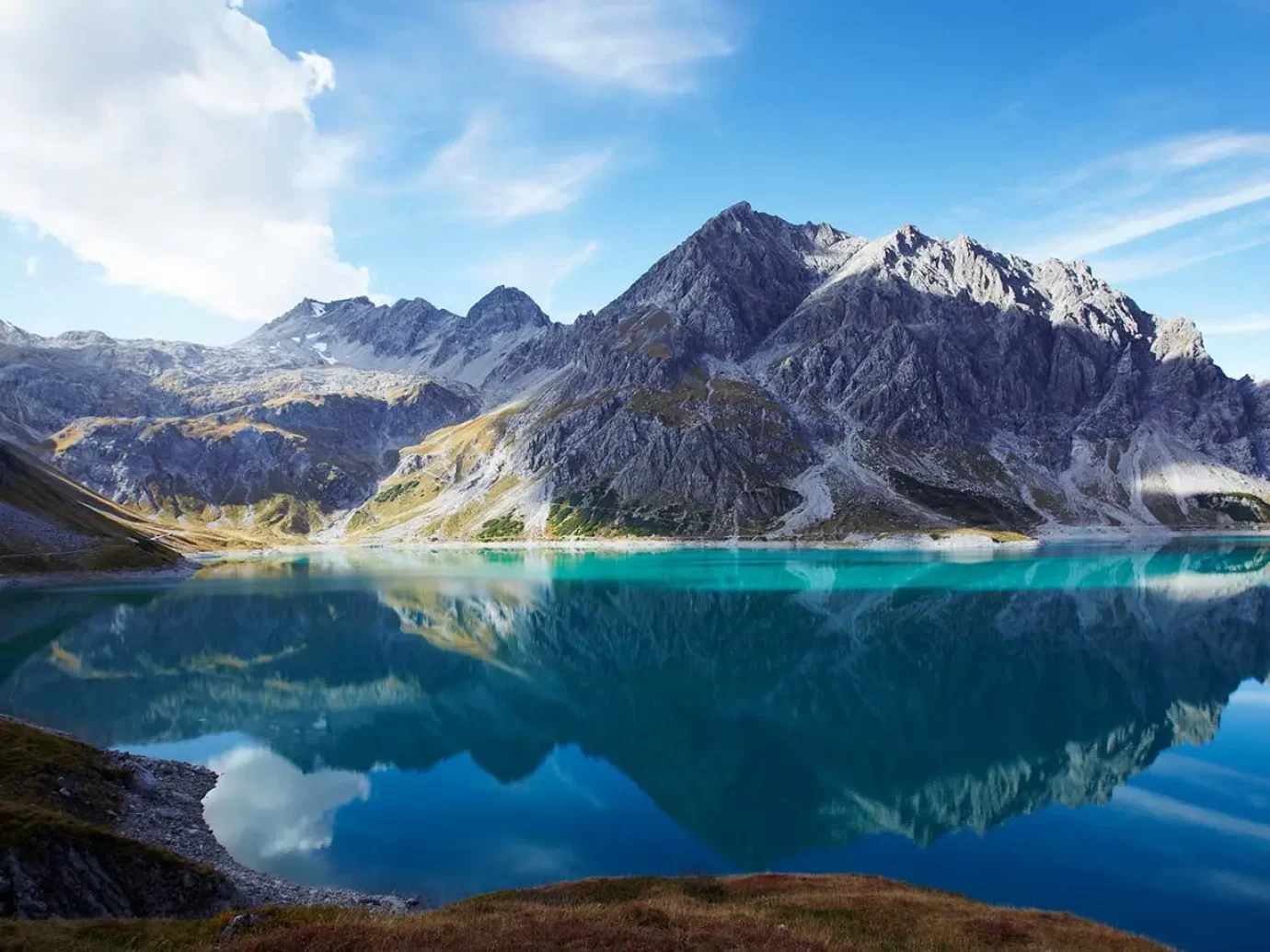
From the center of Brand, the hiking trail leads in the direction of Bludenz and turns right as a path with steep hairpin bends into the Sarotlatal, up to the Sarotlahütte. From there you hike over rocky terrain and scree to the Zimbajoch (2387 m). A very steep path continues zigzagging over rocky terrain and screes down to the Heinrich Hueter hut. Then further up to the Saulajoch via the Saulajochsteig downhill and crossing several gullies up to the Lünersee dam, over to the Douglasshütte. Next, continue via Bösen Tritt (or with the Lünerseebahn) to Schattenlaganthütte and to Brand. From the valley station of the Lünerseebahn there is a bus connection to Brand.
The path runs mostly in the shade of trees along the Palüdbach stream, which is particularly worthwhile in dry and warm weather. Halfway there is the Glingabrunnen, a series of springs that draw their subterranean flow from the Brandner Glacier. Soon you reach the untouched Zalimtal, which impresses with its alpine character. When you reach your destination, the Untere-Brüggele-Alpe invites you to linger with fresh milk and alpine products.
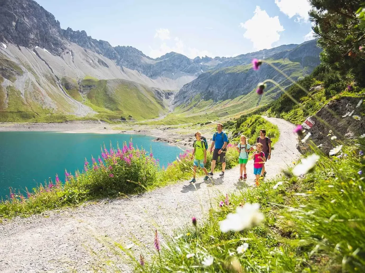
The tour begins with a small challenge, the Bösen Tritt. No problem for the sure-footed hiker. Alternatively, you can also shorten this stretch comfortably with the Lünerseebahn. At the sign for the Lünersee Rundweg (No. 91.100), hike up to the right along the great rock massif for the last few meters in the direction of the Totalphütte. Return: Totalphütte – Douglasshütte – Lünersee
From the hikers’ car park on the Tschengla high plateau, head in the direction of Burtschaalpe. A small colony of marmots lives near the alp. If you hear a whistle, your presence has been noticed by the marmots. From here you hike on a footpath to the Burtschasattel, which lies between Loischkopf and Taleukopf. A short detour to the Taleukopf (approx. 15 minutes) gives you a great view of the Brandnertal, but also of the Bludenz basin and the star-shaped valleys of Montafon, Klostertal, Walgau and Walsertal. We continue to the Inner Parpfienzalpe. You hike along a supply road – this takes you over the Parpfienzsattel to the Furklaalpe. From there you descend to the Ronaalpe. The hiking car park can then be reached in 5 minutes.
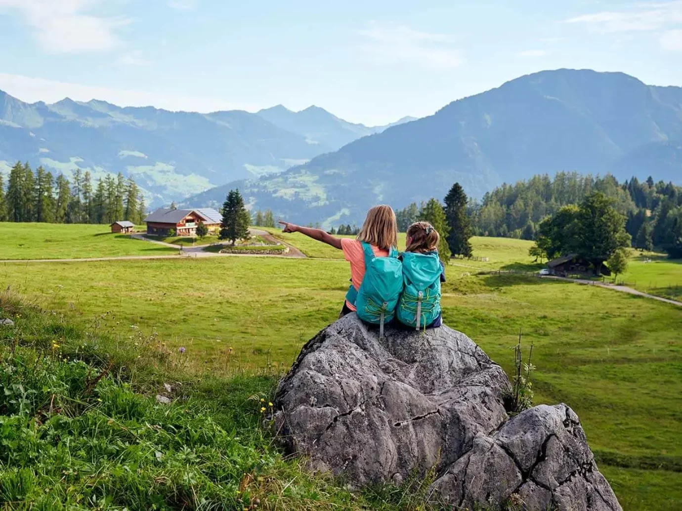
A footpath takes you from Brand to the Lünerseebahn. From there there is a steep climb over the Bösen Tritt to the Douglasshütte. With the bus and cable car you can easily gain altitude and save yourself the first 3.5 hours of the tour. From the Douglasshütte to the Lünerseealpe and via the Verajöchle – Schweizer Tor up to the Öfapass – from there the path always leads downhill to the Lindauer Hütte. Out of the valley it is a good route via Latschau and from there by post bus to Schruns, with the Montafonerbahn to Bludenz and by post bus to Brand.
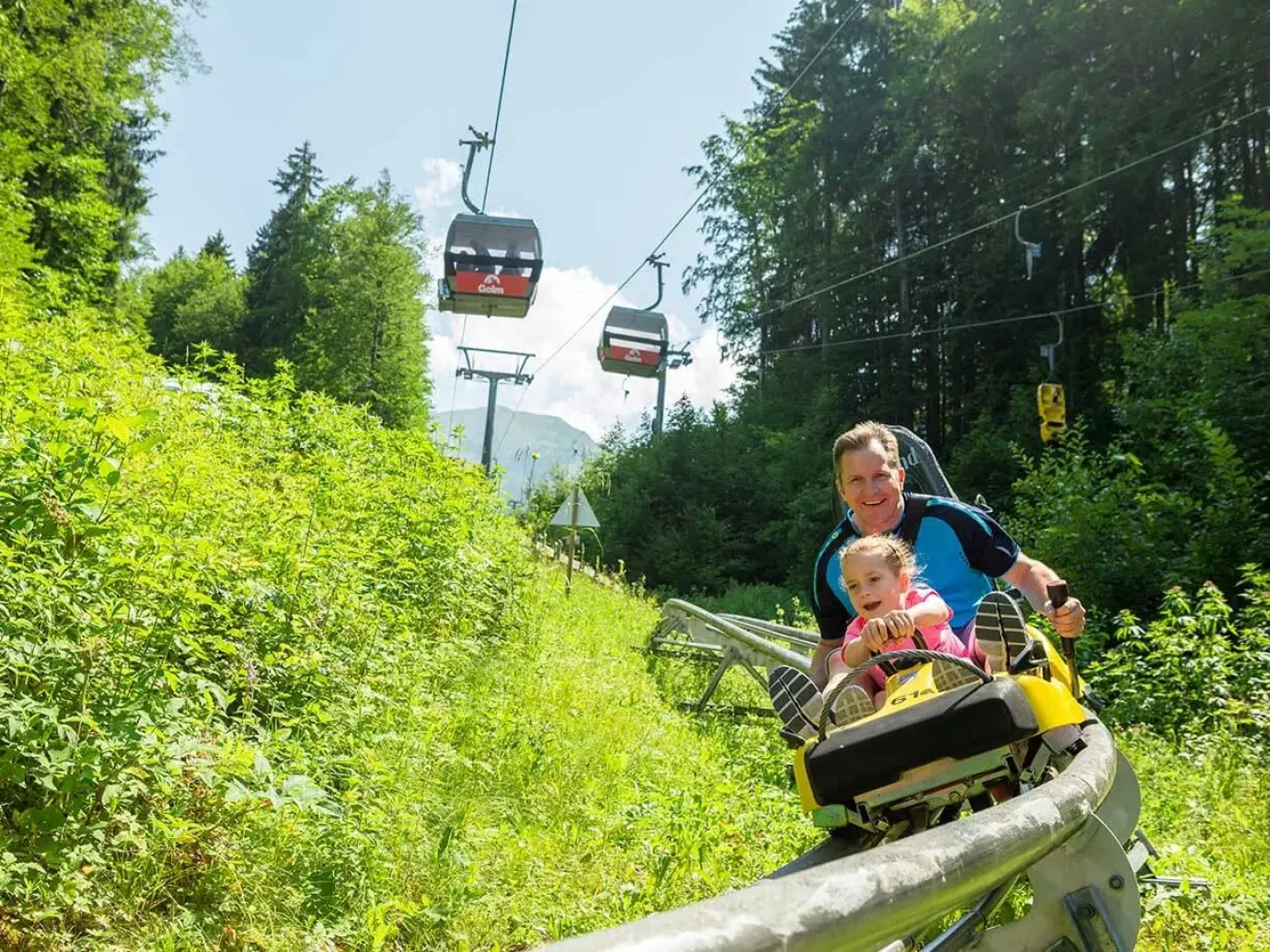
Another alternative is to use the roller coaster to Vandans in Latschau: great fun! You can use the Montafonernbahn directly in Vandans.
You can easily go up the mountain with the Dorfbahn lift. This is followed by a hike via the Gulmasteig to the Amatschonjoch. Alternatively, you can use the Bettlersteig. Maybe you know the valley from winter: the Lorenzital. It continues to Alpe Setsch, then there is a steep ascent to the Spusagang saddle. After that, the tour goes to the Oberzalim Hut. The way back leads via the Oberzalimweg to Brand – there is also a variant here: namely via the Oberes Brüggele.
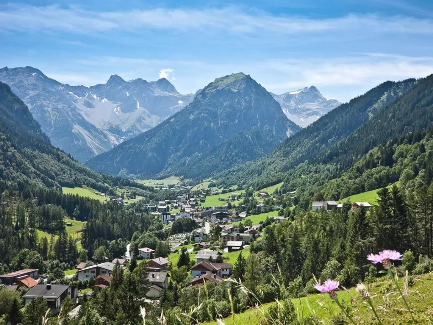
After the ascent with the Dorfbahn lift, the path leads over the free-standing, long ridge of the Gulma via the Palüd area to the Amatschonjoch (alternatively, you can use the Bettlersteig – maybe you know the valley from winter: the Lorenzital). If the visibility is good, you can enjoy a wonderful all-round view! A steep and narrow path leads to Alpe Setsch (be careful when it’s wet and there are sometimes snowfields that last into spring), further on an alpine path to the charmingly situated summer village of Nenzinger Himmel. Return via Alpe Setsch – Amatschonjoch – to the Dorfbahn Brand.
Our tourist office also offers a pick-up service: this way you don’t have to walk the same path twice. In any case, register the day before and explore!